Ratings & Reviews performance provides an overview of what users think of your app. Here are the key metrics to help you identify how your app is rated by users and how successful is your review management strategy.
User reviews affect conversion to installs and app rating. Featured and helpful reviews are the first to be noticed by users and in case of no response can affect download rate.
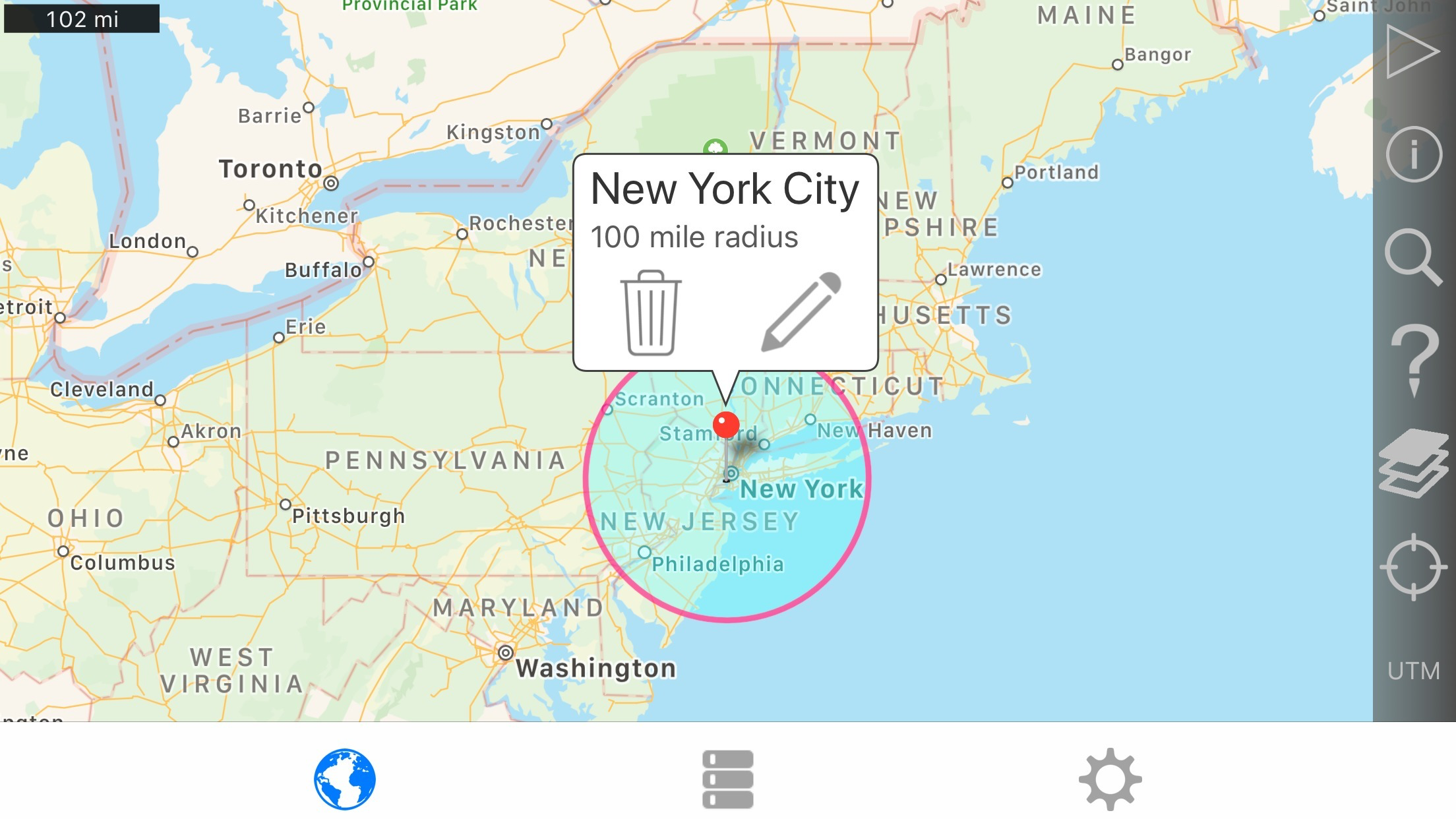
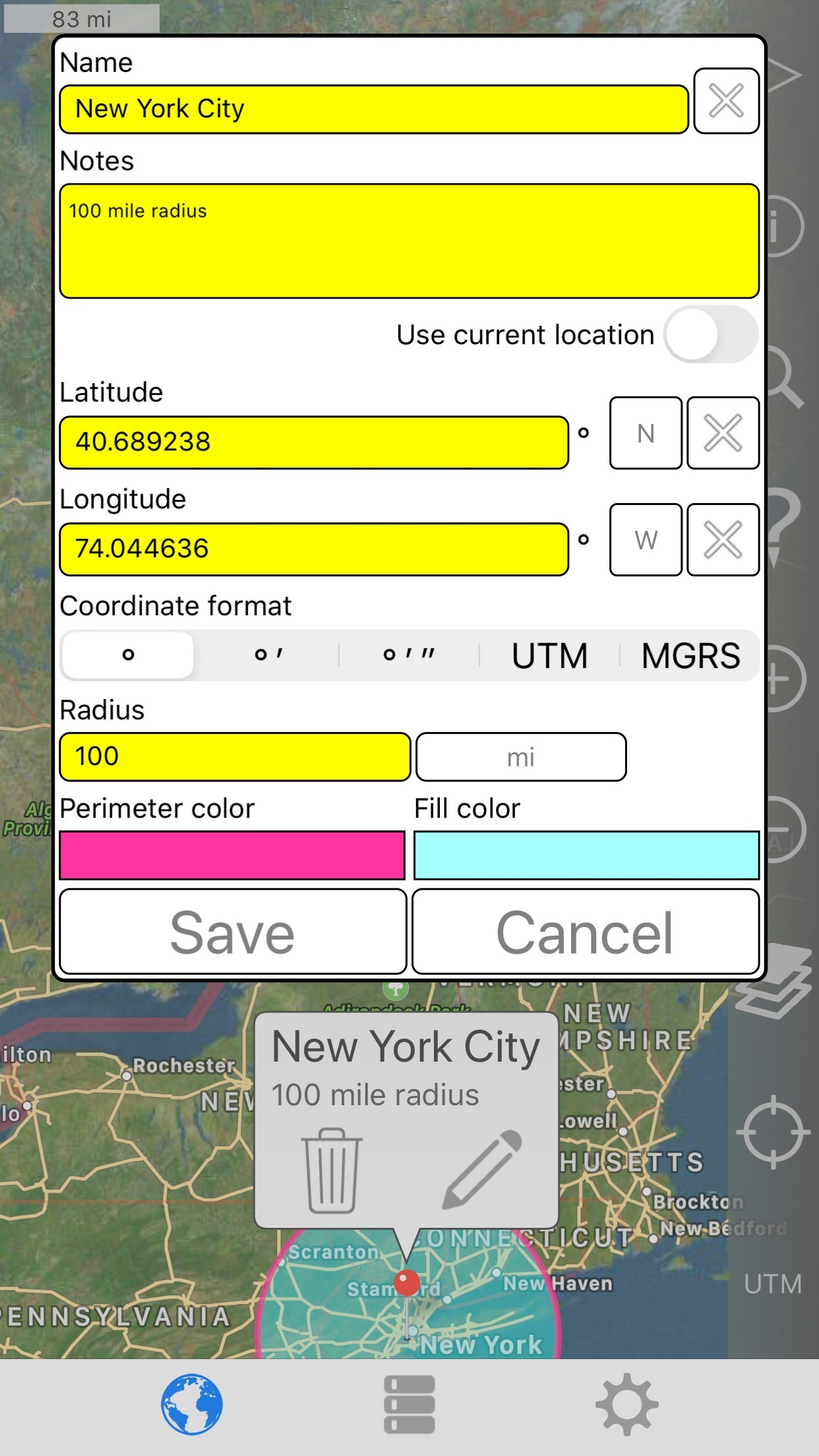
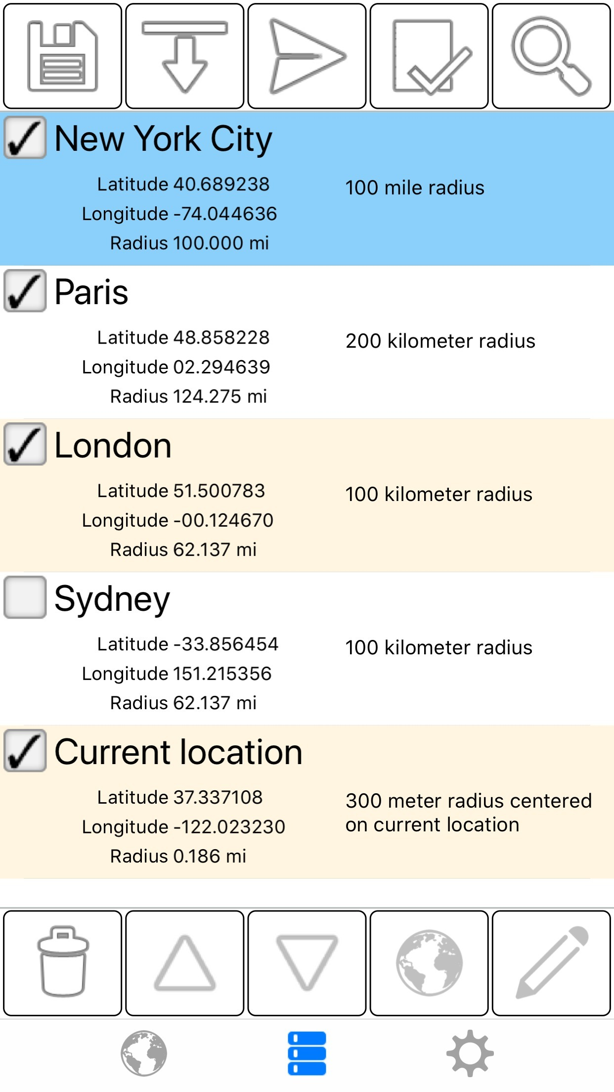
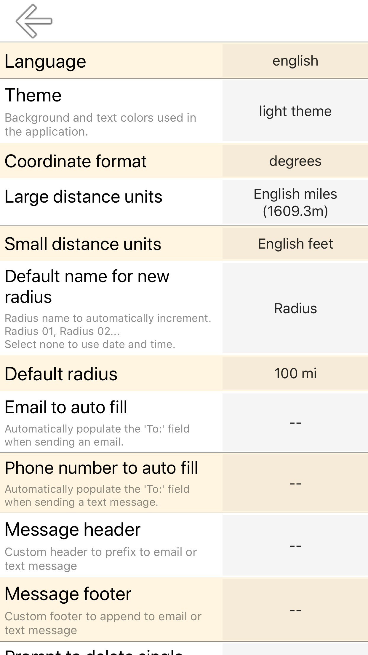
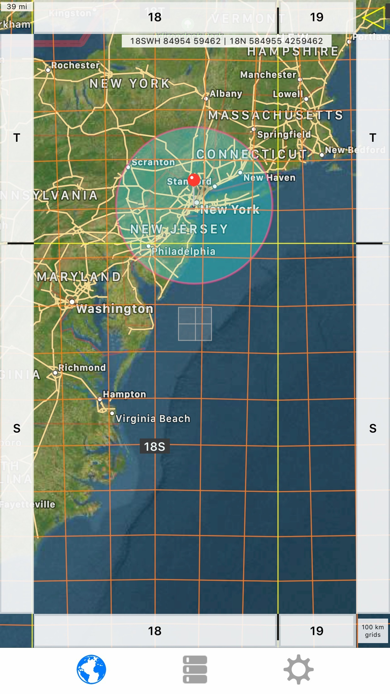
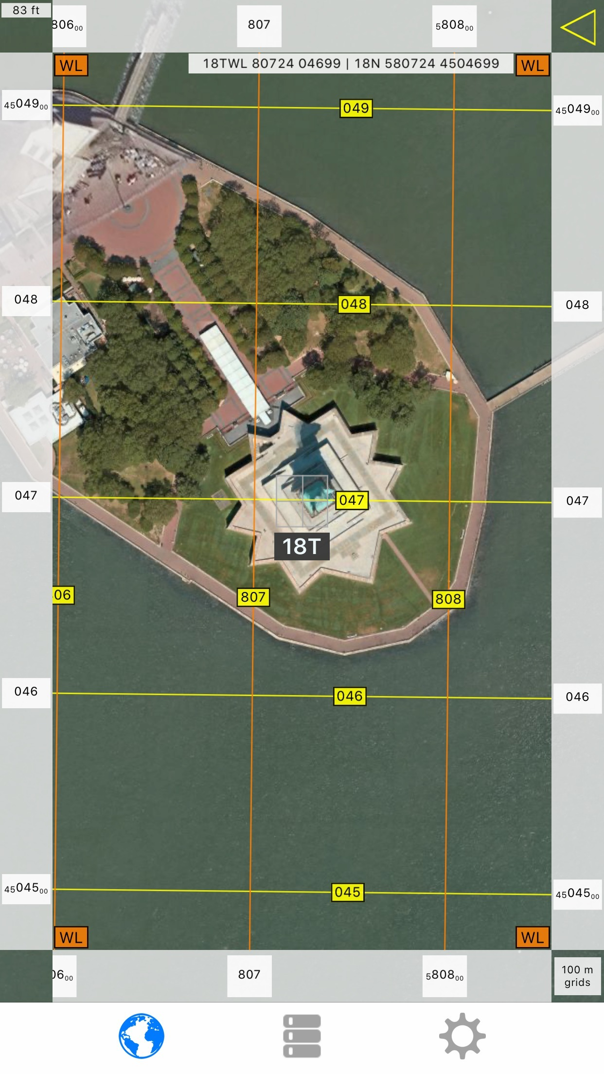
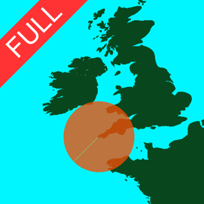
Easily make a radius on a map and share a url showing the radius via email or text message that can be viewed with any browser. Extra functionality of the full version includes: - Lock a radius center to your current location. - Support for landscape and iPad split screen. - Share multiple radii in one url. - Import radii stored as polygons in a .kml or .kmz file. You can import a file from a cloud service such as iCloud or Dropbox. - Export your radii as polygons saved to a kml file to view in Google Earth™ or other mapping applications. You can attach the .kml file to an email or save to iCloud, Dropbox, etc. - Ability to specify which radii show on the map by selecting them in the list view. - Search for keywords in name and/or notes field to find a specific radius. - Custom message header and footer. - No adverts Properties for each radius: - Center coordinate - Radius - Fill color and opacity - Perimeter color and opacity - Name - Notes (optional) Coordinate formats include: - Degrees - Degrees, Minutes - Degrees, Minutes, Seconds - UTM (Universal Transverse Mercator) - MGRS (Military Grid Reference System) Distance units include: - Kilometers - Miles - Nautical miles - Meters - Yards - Feet Loading satellite maps requires an internet connection. Datum used is WGS-84. Please visit the support page for more details.