Ratings & Reviews performance provides an overview of what users think of your app. Here are the key metrics to help you identify how your app is rated by users and how successful is your review management strategy.
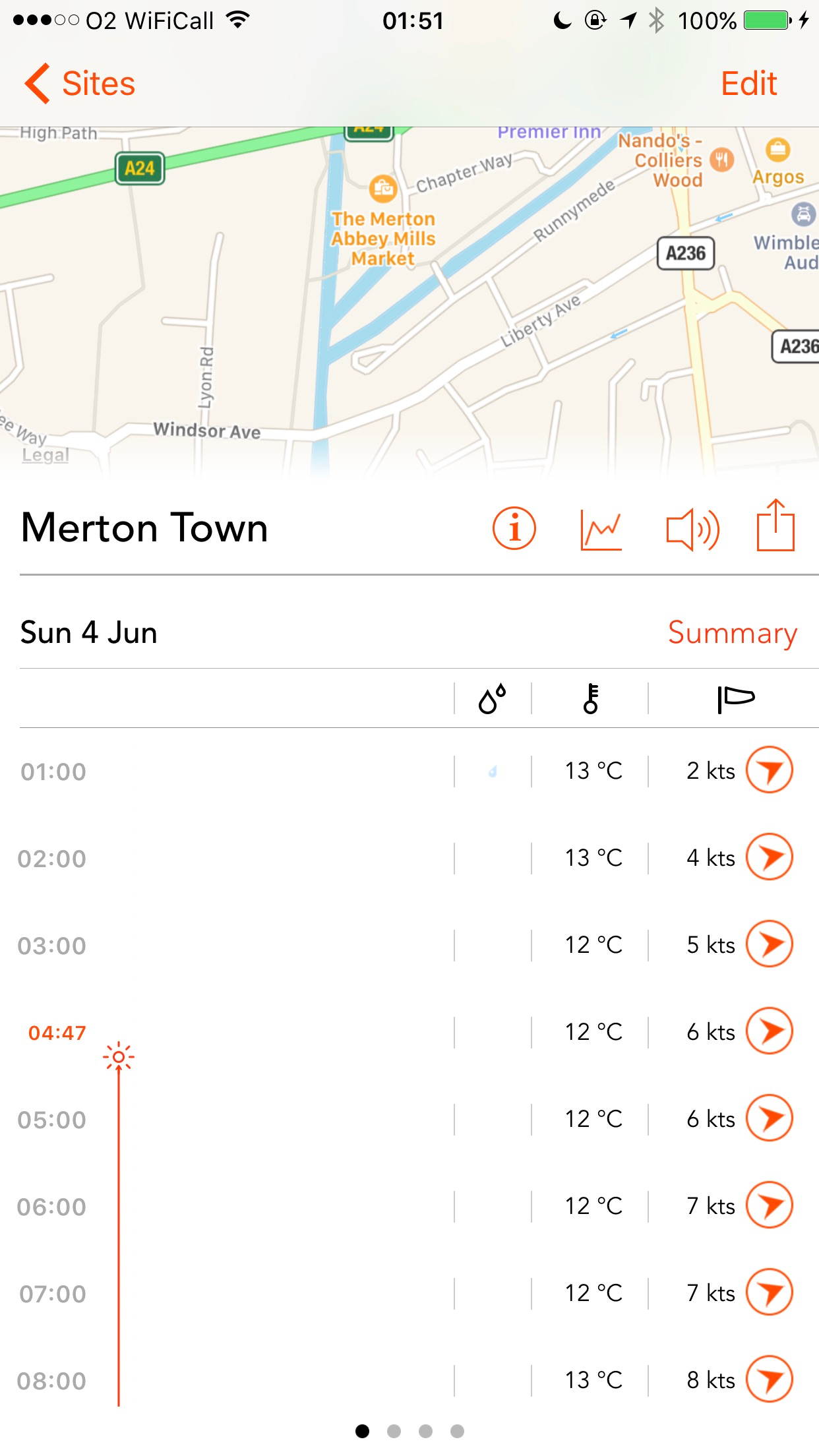
Windsock is an advanced weather app for professional fliers of drones and other UAVs. As a pro perhaps you've already found that packing the flight gear and driving down to the flying location only to find it's too windy to fly can be frustrating. Instead, use these tools get comprehensive reports on the latest flight conditions for a nearby location so you can feel confident that it's great weather at sunset for flying or even if it's great right now - find those perfect flying weather windows and fly smarter! PREMIUM DATA Get access to premium data that uses the power of satellites, radar and local weather stations all over the world to deliver advanced wind and condition forecasts for your favourite drone flying sites. Let's be clear, this isn't one of those basic freebie weather apps! Windsock tracks over 17 forecast metrics from multiple aggregated data sources. Forecasts are up to 7 days in advance with high-resolution forecasts every hour on demand for almost anywhere in the world. ===== POWERFUL YET EASY TO USE 17 forecast metrics - displayed in 5 easy to understand data panels - summary, visibility, air, precipitation and satellite. LOCAL SITES Grab forecasts for your current location without even having to add it as a site. ADVANCED AUDIBLE REPORTS Generate a full audible report of the current conditions and have it read out to you hands-free, just shake your device if you have location enabled. DAYLIGHT REMAINING Quickly find out when sunset is so you know exactly how much daylight you have remaining. CONDITION TICK MARKS Create flight condition rule and get tick marks next to flight conditions that match. Great for visual scanning! RANGE AND DISTANCE MAPPING TOOLS Quickly work out ranges and distances PRINTABLE GRAPHS Wind graphs are just a touch away and can even be printed using AirPrint. 1 WEEK FREE TRIAL Not sure Windsock covers your area? Try it for a week for free. See inside the app for details. Terms of use: https://windsock-app.com/terms


