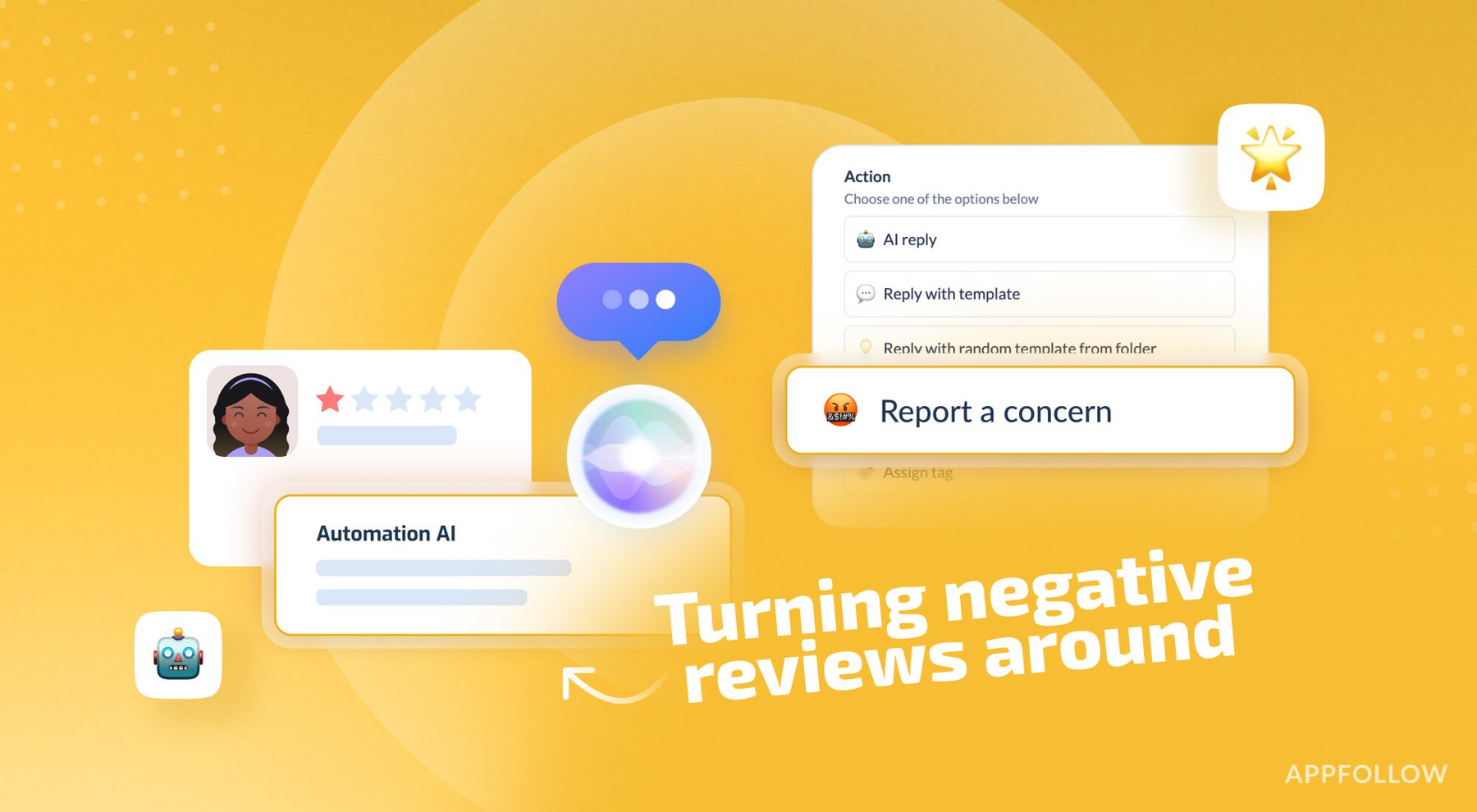
Ratings & Reviews performance provides an overview of what users think of your app. Here are the key metrics to help you identify how your app is rated by users and how successful is your review management strategy.
User reviews affect conversion to installs and app rating. Featured and helpful reviews are the first to be noticed by users and in case of no response can affect download rate.
Measure the elevation of each location within a radius of 5000 meter. With Terrain Radar you can discover the height of hills in front of you or take a look at further away mountains. The unique combination of device sensors and internet-based geo informations makes Terrain Radar to the best altimeter app in the store. FEATURES: • High accuracy digital elevation model • Range up to 5000 meter (17000 ft) • Calculation of altitudes in real time • Precise elevation chart • Display in meter or feet The altitudes are calculated through online services, based on your GPS position and compass direction. Whether biking, hiking or walking - with this altimeter app every trip is a journey of discovery!