PredictWind Offshore Weather
source

PredictWind Offshore Weather

(1)
Price
Free
Category
Weather Navigation
Last update
Dec 29, 2024
Publisher
PredictWind Limited Contact publisher
View in store
Loading...

Ratings & Reviews performance

Ratings & Reviews performance provides an overview of what users think of your app. Here are the key metrics to help you identify how your app is rated by users and how successful is your review management strategy.

Number of reviews,
total
1
Avg rating,
total
⭐5.0
Loading...

Description

1782 chars

The Offshore App allows you to seamlessly download multiple GRIB files for your coastal and offshore passages. Quickly download and view GRIB files, weather routes, GMDSS maps and text forecasts, AIS data and satellite imagery. Access all the world’s top ranking forecast models for reliable and accurate weather data, including ECMWF, SPIRE, UKMO, GFS and more. Our very own PWG & PWE models offer incredible accuracy and a record-breaking 1km resolution. In addition to forecasts, the Offshore App also provides a suite of powerful marine tools to save you time and keep you safe at sea. Weather Routing and Departure Planning is calculated in the PredictWind cloud at the highest resolution. The finished route is then sent back to your boat in an incredibly small file size which is ideal for low bandwidth satellite and SSB connections. The Offshore App works with Wi-Fi, mobile networks, and most satellite connections using an Iridium GO!, Globalstar or Optimizer device. ADDITIONAL FEATURES GRIB file viewer: High resolution forecasts maps with animated streamlines, wind barbs or arrows. Tables: The ultimate dashboard for detailed analysis. Graphs: Compare multiple parameters at the same time. GMDSS Forecasts: View either in the traditional text format or on a map. Destination Spot Forecast: Know exactly what the weather is doing at your destination. Live Observations: Know what’s happening right now out on the water. Ocean Data: See what’s happening under the waves with ocean and tidal currents, and sea temperature. GPS Tracking: Get a free customised GPS tracking page for your blog or website. AIS Data: View over 280,000 vessels worldwide on the AIS network.

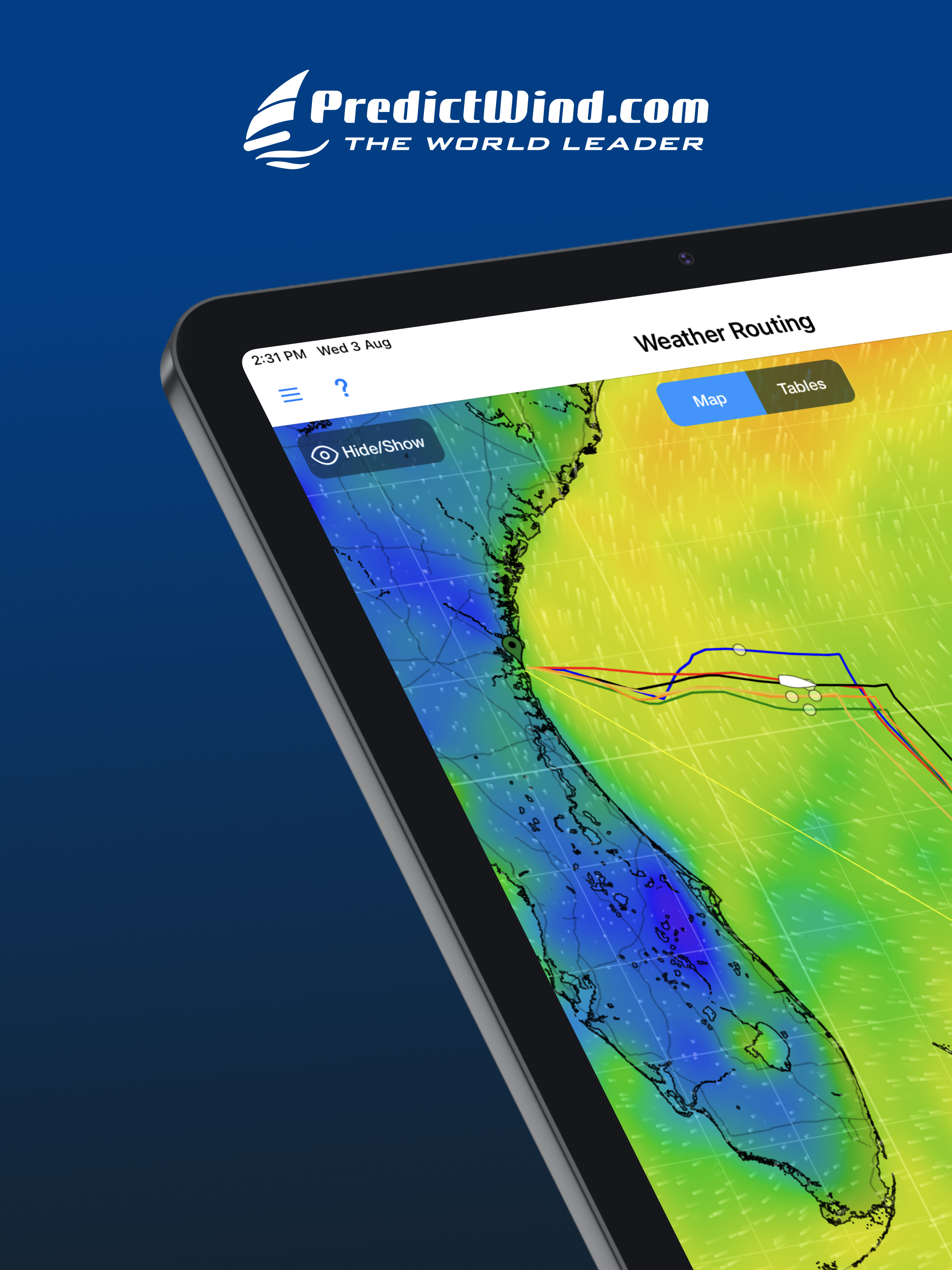
Screenshots

https://is1-ssl.mzstatic.com/image/thumb/Purple116/v4/aa/e4/2b/aae42b75-8569-3ea1-638d-d19ce9ea6b18/3656ab1a-f0bd-4d06-b121-570dbb3d7a08_Frame_1055.jpg/2048x2732.pnghttps://is1-ssl.mzstatic.com/image/thumb/Purple126/v4/d4/42/73/d442738a-0cfd-f535-c558-c3ccd9c626de/350becb5-3e62-431a-a811-fa911aae2d90_Frame_1096.jpg/2048x2732.pnghttps://is1-ssl.mzstatic.com/image/thumb/Purple126/v4/82/e1/23/82e12301-6e90-a6a7-7dc1-30a1132610e9/8479232c-fe3c-417f-b255-948e4611fe5b_Frame_1097.jpg/2048x2732.pnghttps://is1-ssl.mzstatic.com/image/thumb/Purple126/v4/75/ac/56/75ac56ff-9fe8-ff17-1f70-b5ce27c13660/34564634-a2e3-4adb-82de-87eb8e9c6fb2_Frame_1098.jpg/2048x2732.pnghttps://is1-ssl.mzstatic.com/image/thumb/Purple126/v4/cb/04/62/cb046200-f8c0-c022-a509-09ebdf1816c0/fe6a9e1a-3c40-4df2-b167-9b0935a99745_Frame_1099.jpg/2048x2732.pnghttps://is1-ssl.mzstatic.com/image/thumb/Purple126/v4/79/27/f4/7927f49a-25e4-11cd-e07b-3192e712c53d/903ee3f1-eab6-468c-8428-0316a3cb5598_Frame_1100.jpg/2048x2732.pnghttps://is1-ssl.mzstatic.com/image/thumb/Purple126/v4/71/66/d4/7166d498-611c-0f20-d353-8c580855f24d/6ab81430-b6b9-4ab6-bee1-a18e4b51e589_Frame_1101.jpg/2048x2732.pnghttps://is1-ssl.mzstatic.com/image/thumb/Purple126/v4/66/2c/dc/662cdcfe-e10a-426e-94ae-225589d2859d/636a332a-fa4b-4de9-9774-7e37bc4d7235_Frame_1103.jpg/2048x2732.pnghttps://is1-ssl.mzstatic.com/image/thumb/Purple116/v4/3f/29/c1/3f29c16b-208d-2cce-3e57-d218a1d349a1/ba7de031-7053-4a34-9559-66643fb130f5_Frame_1104.jpg/2048x2732.pnghttps://is1-ssl.mzstatic.com/image/thumb/Purple116/v4/ce/c8/1f/cec81f42-3ee8-bc60-a464-99c7e4c1bb28/ccd25eab-6fe0-47ac-a87b-7d9994bf5e6e_Frame_1105.jpg/2048x2732.png
Loading...
Loading...

Find growth insights on our blog

React to user feedback and market trends faster