Discover areas for improvement and differentiation from user feedback and competitor insights.
Harness valuable market intelligence for targeted messaging and better organic reach.
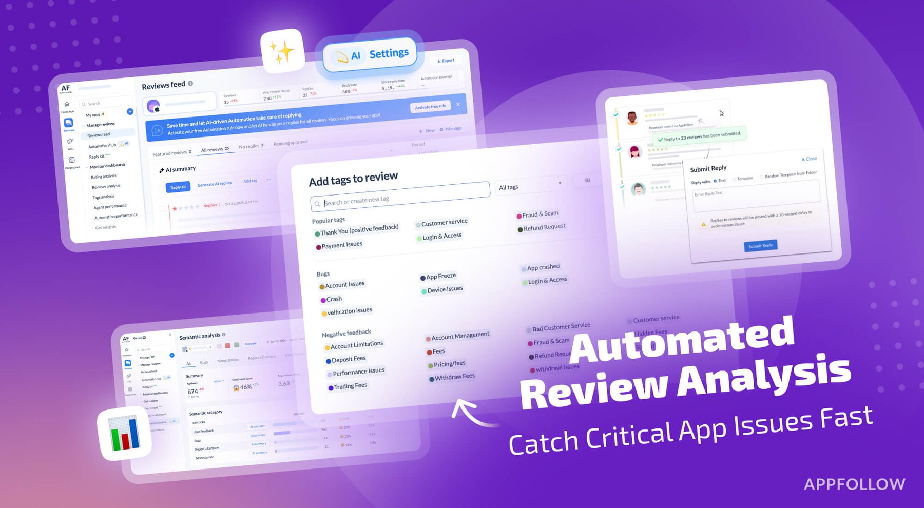
Take the next step in how your business engages with user reviews.
Respond to reviews, sort and report offensive ones automatically. Streamline your support workflows.
Process critical app data on reviews, ratings, and ASO in email, Slack, Zendesk, Tableau, Webhook, and over 20 more services.
Explore expert articles and case studies on app growth, ASO, user retention, and mobile SaaS trends.
Find expert tips and solutions for utilizing AppFollow to its maximum potential.
Attend insightful webinars covering mobile app reputation, customer satisfaction, ASO, and more.
Enhance your app reputation management skills with our collection of valuable resources.
Stay updated on AppFollow's latest news, events, interviews, and feature releases.
Leverage our API to seamlessly integrate AppFollow with other services.
Master your mobile marketing goals with comprehensive ASO and review management tutorials.
App growth consultancy covering ASO, localization, CRO, and competitor analysis for App Store & Google Play.

![How to measure customer sentiment for app reviews [7 metrics]](https://cdn.appfollow.io/blog/static/appfollow_1335e02d-b0b3-49f7-9eb6-94171dc7e379.jpg)