Ratings & Reviews performance provides an overview of what users think of your app. Here are the key metrics to help you identify how your app is rated by users and how successful is your review management strategy.
User reviews affect conversion to installs and app rating. Featured and helpful reviews are the first to be noticed by users and in case of no response can affect download rate.
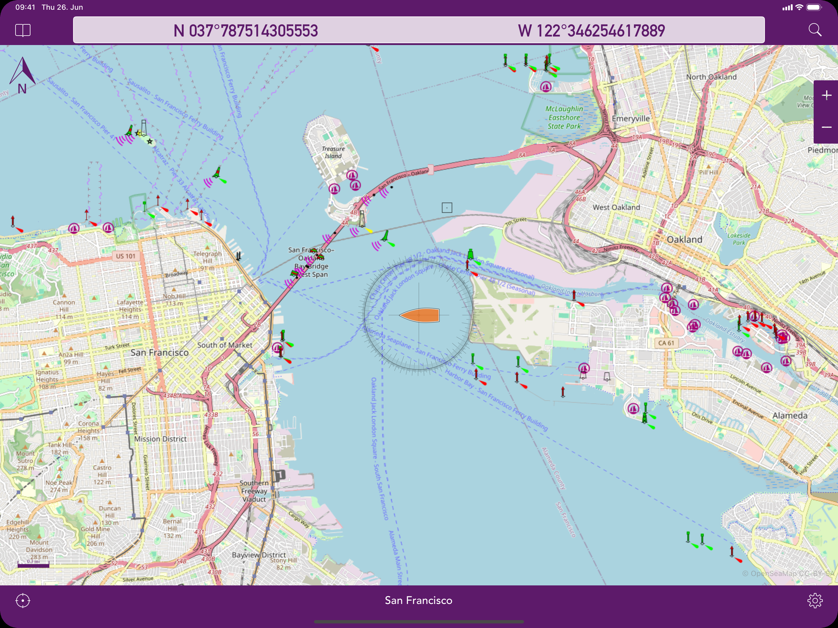
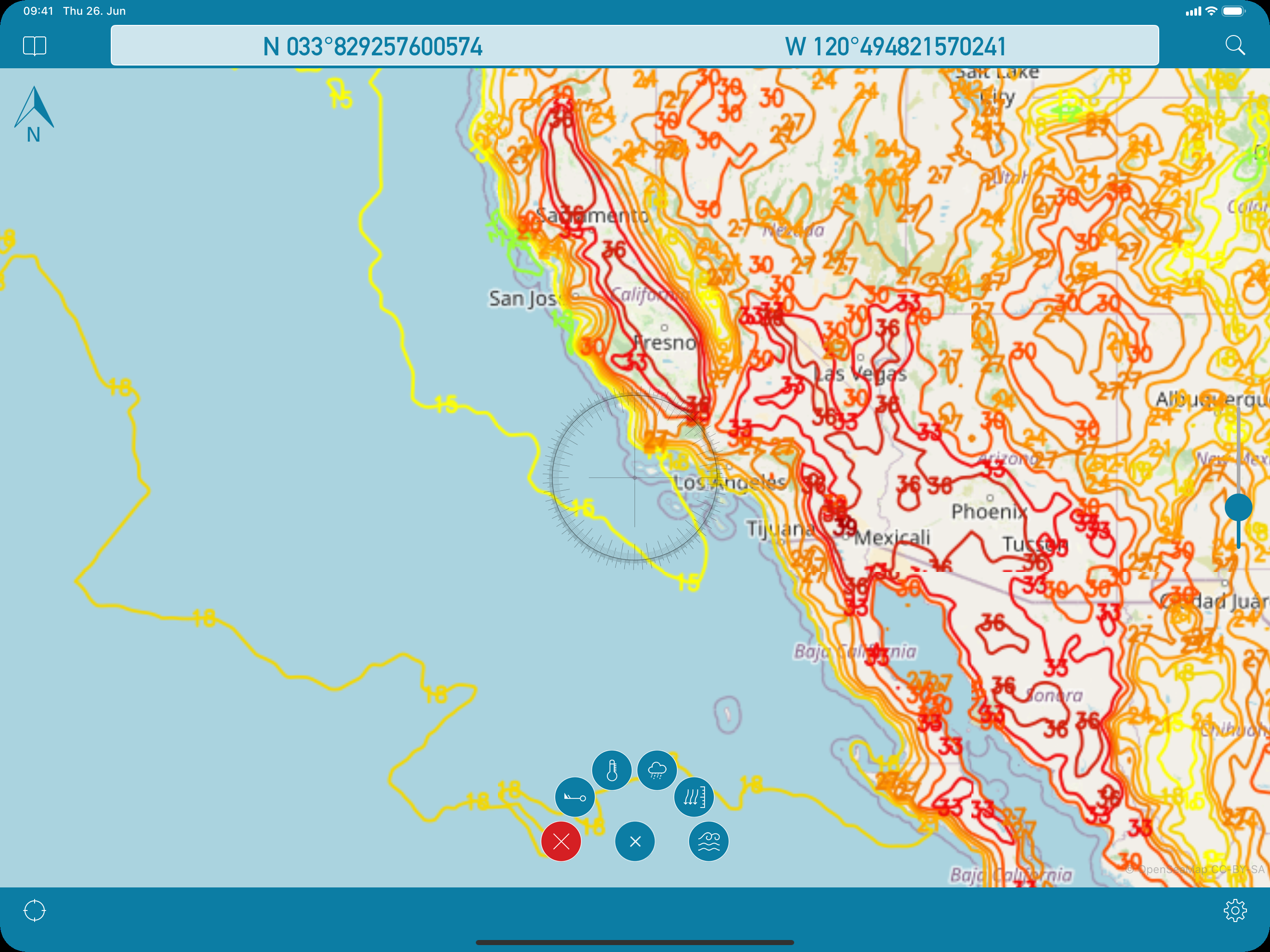
OpenSeaMap is a worldwide Opensource-project for creating a free nautical chart. Founded in 2009 the project gained a lot of attention lately adding more and more nautical information for free. Not even lights and other nautical infos are provided, but also more and more info layers like weather data, information about harbours and so on. As an add on to the OpenStreetMap this provides all missing info for nautical activities. OpenSeaMap is part of OpenStreetMap and uses the same database. FEATURES: - Free worldwide sea chart (incl. HD chart graphics) - Search for geolocations worldwide - Chartplotting with continuous tracking - Waypoints can easily be created, edited, deleted & exported - Mark locations in the chart - Zoom chart optically to fit your preferred reading size - Enter coordinates directly to be displayed in the chart - Offline caching of up to 1 million map tiles - Cleanup of chart cache data at any time To ensure future development and support of the OpenSeaMap app we encourage you to buy the In-App-Product "PRO". This will help keeping new updates and features coming. DISCLAIMER: OpenSeaMap is part of the OpenStreetMap and uses the same database. As an experienced navigator you should NEVER rely your descisions on one source of information alone. Please keep in mind that the OpenSeaMap can not replace official sea charts on bord of your boat. Please use the OpenSeaMap app only in conjunction with official sea charts and conforming to national and international regulations. Please recognize that no depth information is provided by this product. IMPORTANT: The continued use of the GPS can significantly decrease the battery level.