Ratings & Reviews performance provides an overview of what users think of your app. Here are the key metrics to help you identify how your app is rated by users and how successful is your review management strategy.
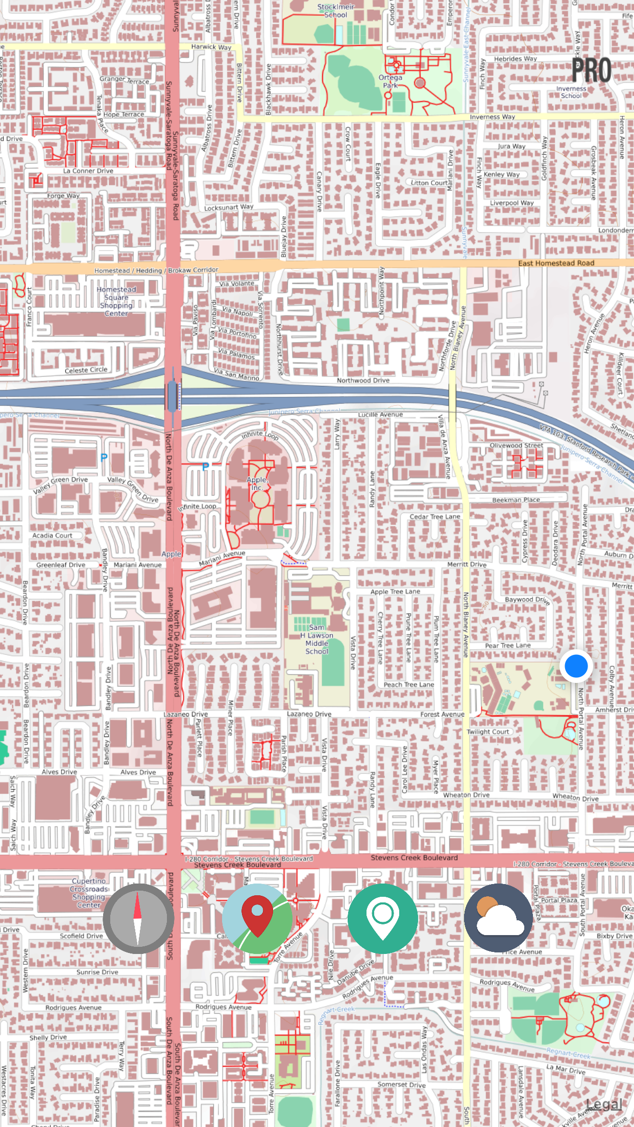
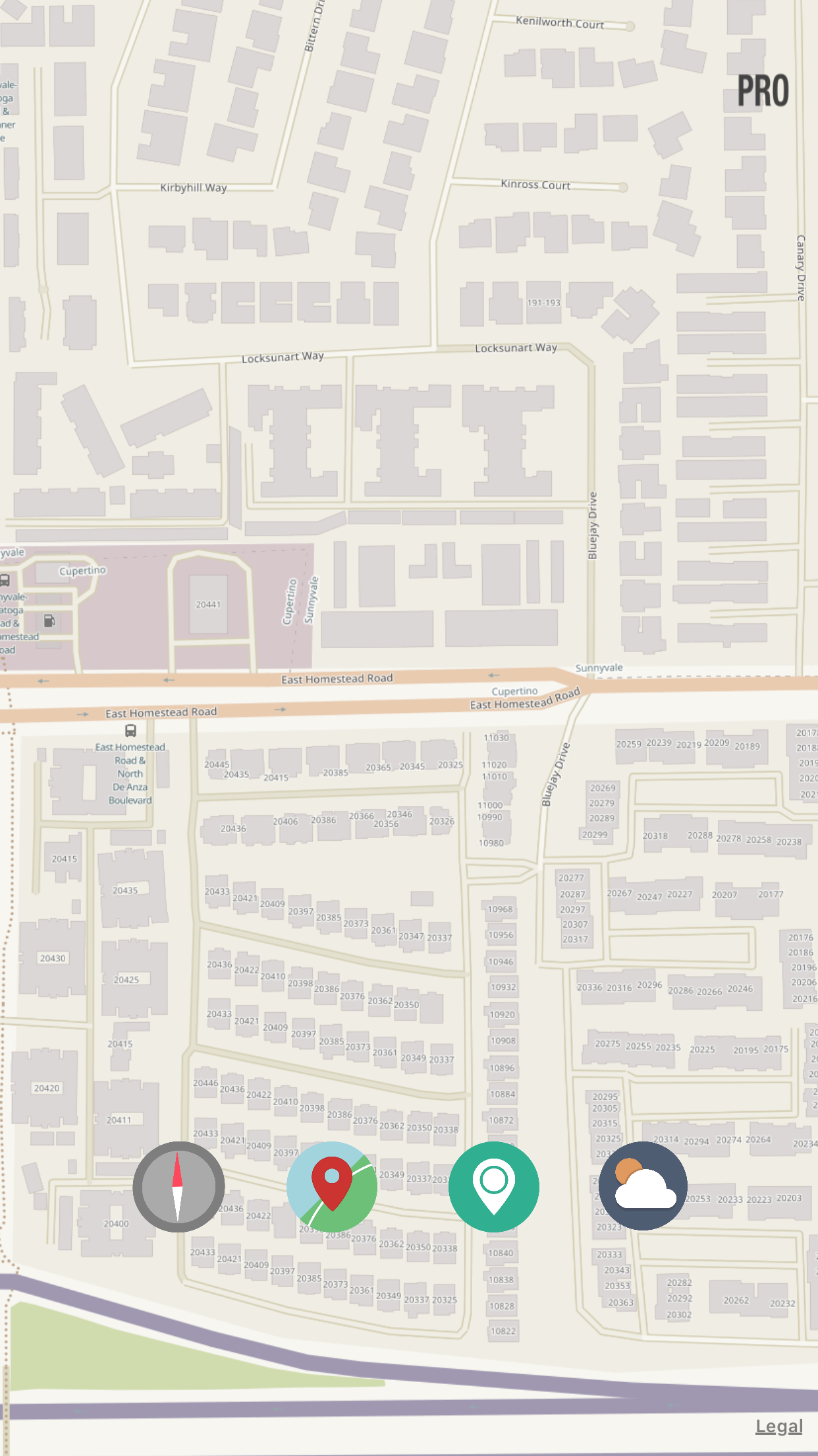
Explore Your Next Adventure with OpenMaps Topographic Maps! Gear up for your next outdoor escapade with our comprehensive digital topographic maps. Designed for hikers, explorers, and outdoor enthusiasts, OpenMaps offers detailed insights into a myriad of routes, from footpaths to countryside trails, all sourced from OpenStreetMap (OSM) – your go-to for accurate and up-to-date mapping data. Never Lose Your Way: Planning a day hike but forgot your map? Fear not! With OpenMaps, you gain access to a diverse range of detailed and freely editable topographic maps. Our maps, sourced from the renowned OpenStreetMap (OSM) project, ensure precision and reliability for all your hiking, mountaineering, or mountain biking adventures. Why Opt for OpenMaps? Live Tile Mapping: Immerse yourself in cutting-edge mapping technology with live tile maps sourced from OSM and other open-source servers. Essential for Outdoor Enthusiasts: Whether you're an avid hiker, seasoned mountaineer, passionate mountain biker, or simply a nature enthusiast, OpenMaps serves as your essential guide. Community-Driven Data: OSM is a collaborative endeavor that crafts a free and editable global map. Local volunteers contribute GPS data and local knowledge to maintain the most accurate and current information. Featuring 6 Open-Source Topographic Maps. Embark on Your Next Outdoor Expedition with OpenMaps – Your Gateway to Global Trails and Routes! An app like OpenMaps caters to a diverse range of users, including: Hikers and Mountaineers: Utilize OpenMaps' detailed topographic maps to plan and navigate your routes with confidence, displaying various terrain features critical for safety and efficiency during your adventures. Mountain Bikers: Find new trails, assess terrain difficulty, and plan your mountain biking excursions seamlessly with OpenMaps. Explorers and Outdoor Enthusiasts: Unleash your spirit of exploration with OpenMaps' detailed maps, uncovering new areas to explore both locally and internationally. GIS Professionals and Urban Planners: Harness OpenMaps' OpenStreetMap data for GIS projects, aiding in urban planning and geographical analysis. Volunteers and Collaborators: Contribute to the accuracy and currency of mapping data by updating and adding information through the OpenMaps app. In summary, OpenMaps stands as an indispensable companion for outdoor enthusiasts and professionals alike, offering detailed topographic maps and up-to-date mapping data for your adventures. Begin your journey with OpenMaps today!