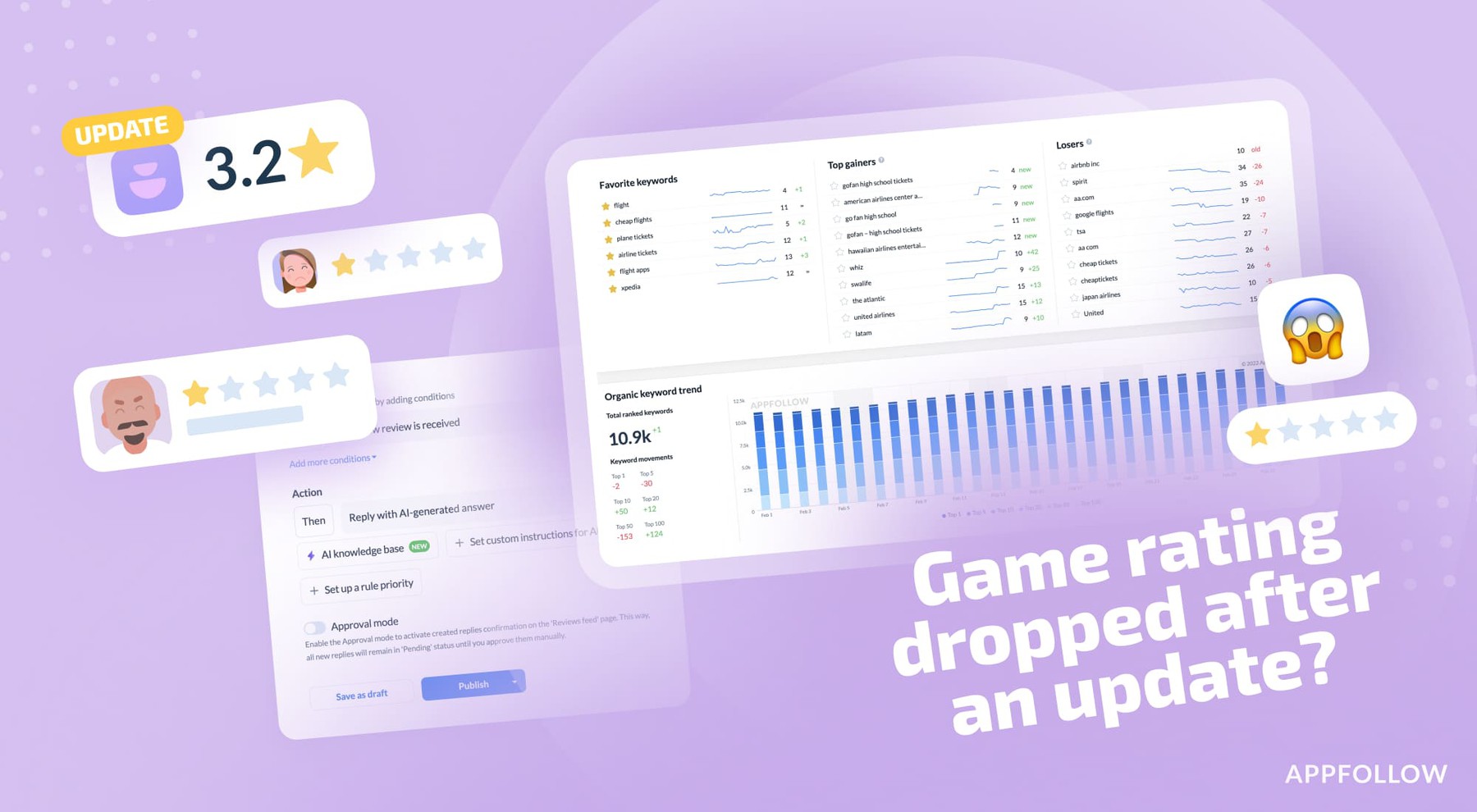
Ratings & Reviews performance provides an overview of what users think of your app. Here are the key metrics to help you identify how your app is rated by users and how successful is your review management strategy.
The mobile application "GPS-IOT Mobile" is intended for viewing and managing the data of your searching and tracking devices of the GPS-IOT, connected to the free telematic GPS-IOT Server. The current version supports the following functions and features: - Registration of a new Account on the server "GPS-IOT" - Connection to the Account that already exists on the GPS-IOT Server, using your login and password. - View the list of connected devices in your Account with their current status, the last received location, speed, direction of movement and other data received from the device. - Adding new devices to the account, editing the data of existing devices, removing them from the account; - Delegation (granting full or limited access) devices to other accounts on the server; - View extended information about the selected device and its settings (total of more than 35 parameters); - View accumulated daily statistics on object movements such as mileage, average and maximum speed, travel time, estimated amount of fuel consumed (only for devices operating in tracking mode); - Show the selected device (or all devices in your account) on maps with the ability to scale and indicate your own location; - Ability to send commands to devices Alpha-Beacon, SE/SE+/D-Beacon (and earlier versions 3.x, 4.x) via SMS and GPRS. The application command interface contains detailed explanations for each command. - Displaying tracks of movement for the selected period with the possibility of color highlighting, depending on the speed of movement on these segments of the path. Ability to display a track by points on the map; correction (deleting) the points with approximate LBS coordinates. Marking with icons of the point of the beginning and the end of the track, parking places with indication of their duration; - All screens of the application with dynamic information are automatically updated.


![[Webinar recap] What fintech apps get wrong (and right) in the app stores](https://cdn.appfollow.io/blog/static/appfollow_126bb420-cee0-4ea0-9a8c-6c1d9871175f.jpg)