Ratings & Reviews performance provides an overview of what users think of your app. Here are the key metrics to help you identify how your app is rated by users and how successful is your review management strategy.
User reviews affect conversion to installs and app rating. Featured and helpful reviews are the first to be noticed by users and in case of no response can affect download rate.
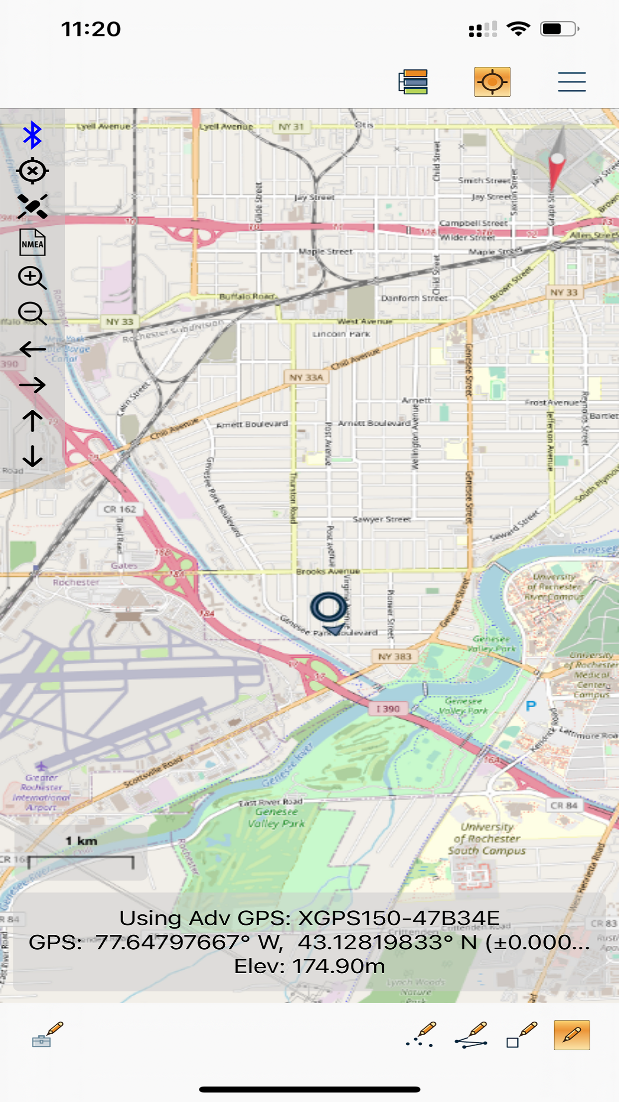
Global Mapper Mobile All the maps you need, in the palm of your hand. Global Mapper Mobile is a powerful iPhone and iPad application for viewing and collecting GIS data. It utilizes the GPS capabilities of mobile devices to provide situational awareness and location intelligence for remote mapping projects. A perfect complement to the desktop version of Global Mapper, the Mobile edition can display vector, raster, and elevation data layers that have been transferred from the desktop version of the software. It also provides tools for drawing, tracking, and form-based data collection using pre-configured attributes and picklists. In addition to what’s new (listed above), the base version of Global Mapper Mobile is free of charge and provides an array of features and functions, including: • Expanded built-in supported vector styles and custom symbols • Terrain layer support offers hill shading, terrain shader display as Atlas shader, and the ability to view elevation at a specific location. • Improved layer transparency setting with a color picker and support for Dark ModGPS-based field data collection • Digitizing or drawing tools • Feature attribute management • Simple and efficient data deployment and return • Self-contained map storage and display - No data connection required • Picture point creation from geotagged photos • Online access to OpenStreetMap Data Global Mapper Mobile Pro Developed with today's mapping professionals in mind, the Pro version of Global Mapper Mobile supplements the functionality of the base version with an array of professional-grade tools, including. On top of new features for v2.2: • Advanced GPS support to connect to external high accuracy Bluetooth GPS devices from vendors such as Bad Elf and EOS, among others • Terrain shader selection/change within the app • Enable water level display on terrain data • Extensive preconfigured and customizable online data services • The option to save this streamed data for offline use • Support for GeoPackage and GeoPDF files • Advanced projection support • Support for external GPS receivers • GPS averaging • Display of distance and bearing to a location • Terrain shader options Global Mapper Mobile Pro is available as an in-app purchase. The license is based on an annual subscription from the date of purchase that can be renewed each year. Enterprise licensing options are also available. For more information, email orders@bluemarblegeo.com. Note: Continued use of GPS running in the background can dramatically decrease battery life. Privacy Policy: https://www.bluemarblegeo.com/privacy-policy.php Terms of Use: https://www.bluemarblegeo.com/terms/global-mapper-mobile.php


