Ratings & Reviews performance provides an overview of what users think of your app. Here are the key metrics to help you identify how your app is rated by users and how successful is your review management strategy.
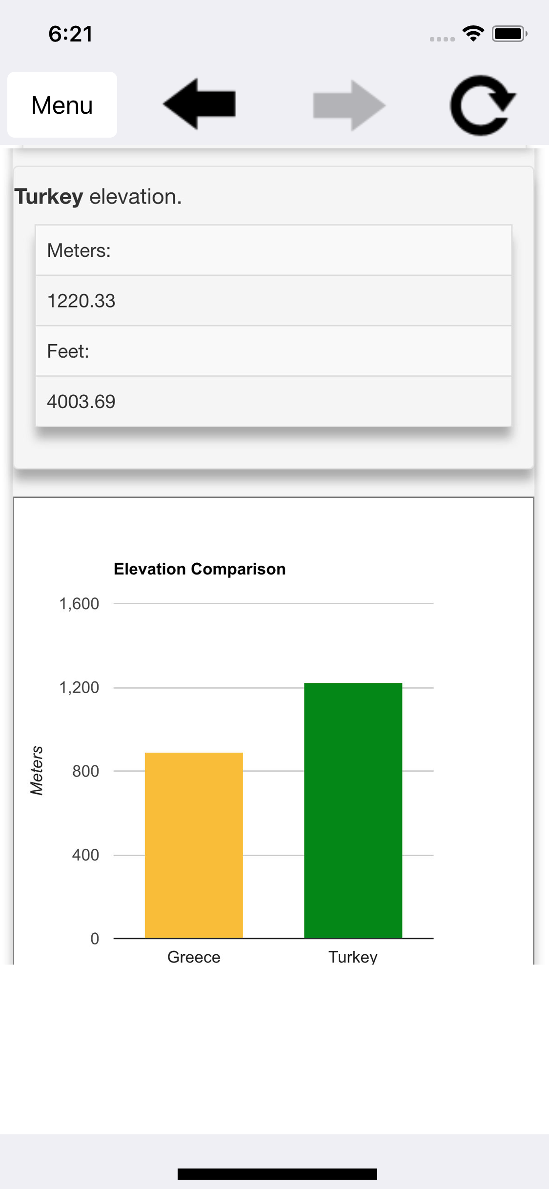
Distances To provides a way to calculate driving distances, flight distance, fuel cost, land elevation, route elevation, travel time and more. Note that an internet connection is required. With support for countries all around the world, you can calculate the distance to, from and between cities, towns, villages and/or countries. Calculations are displayed in miles, kilometers, meters and/or feet. Additionally, you can: Find coordinates for locations in DMS or decimal format, view road maps, get driving directions and find places near you. The places finder helps you find and get driving directions to: car rental locations, gas stations, lodging facilities, post offices, public transportation locations and more. Distances To also displays user friendly visual elements such as maps, charts and even offers a save to PDF option for the driving distance, flight distance, fuel cost, land elevation, route elevation and travel time calculators as well as the coordinates finder. By saving this information to a PDF file, you can better plan your trip, organize your data and even access the information offline.


