Ratings & Reviews performance provides an overview of what users think of your app. Here are the key metrics to help you identify how your app is rated by users and how successful is your review management strategy.
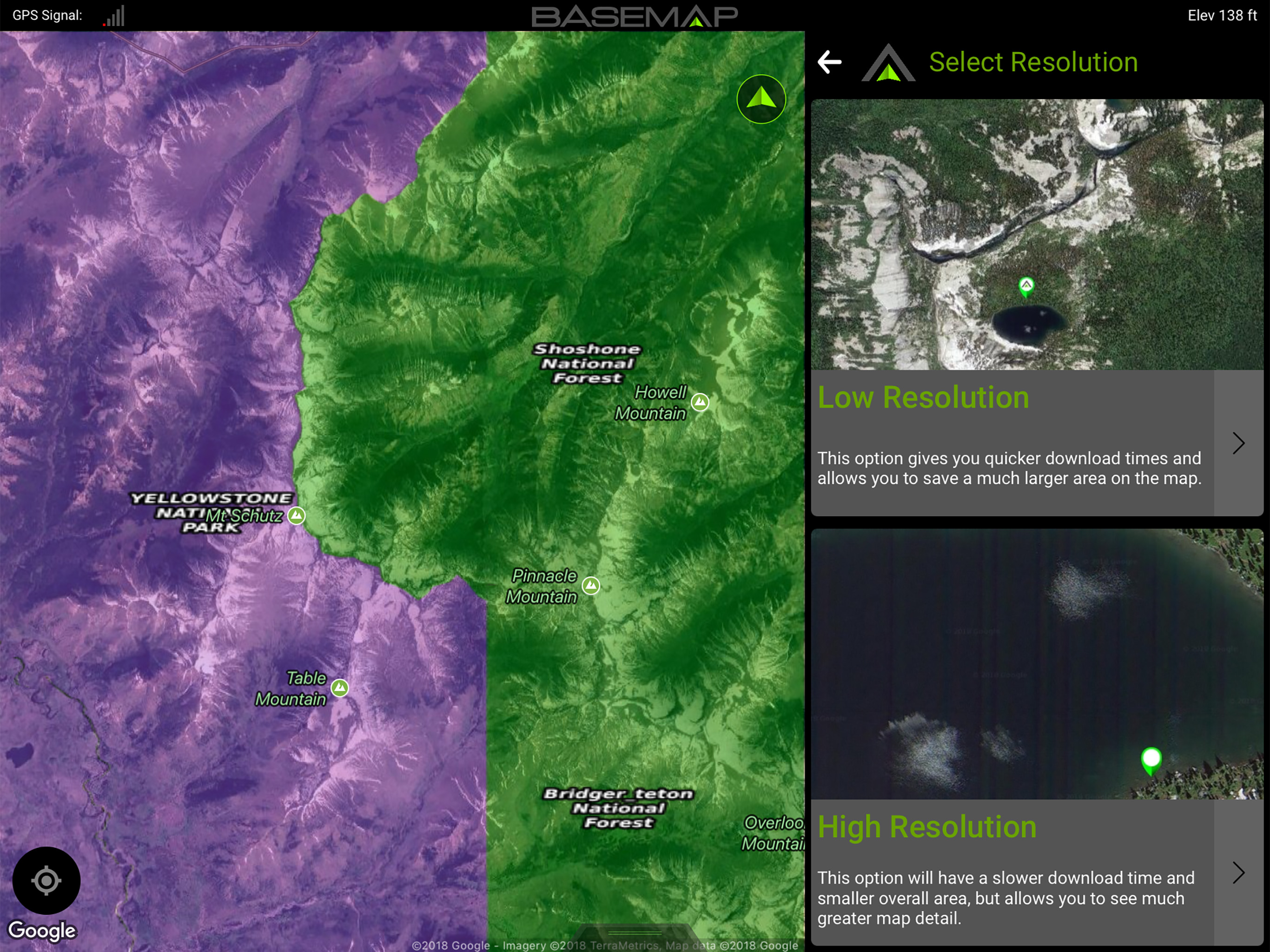
Guaranteed land ownership maps, mobile hunt planner with draw odds, industry leading GPS tools for hunters and outdoorsmen. OFFLINE GPS and TRACKING • Cache maps for offline use without service. • Save as many offline maps as you want with unlimited caching (Pro). • Know exactly where you are in real time even without cellular coverage. MAP LAYERS • 800+ layers • Nationwide Color Coded Govt Lands • Nationwide Private Parcel Boundaries & Owner Names • Water depths for East coast, West, Coast, Gulf coast, 4,000+ U.S. lakes • Nationwide Hiking Trails • Nationwide Wildfires & Timber Cuts • Nationwide Wilderness & Roadless Areas • State specific hunting layers including hunting unit boundaries, private hunting opportunities, WMA’s & more • Multiple TOPO & Satellite Imagery options • Much more MOBILE HUNT PLANNER • Unit filtering • Draw odds • Harvest data • Season dates • Unit insights IN-APP 3D SATELLITE IMAGERY • As close to boots-on-the-ground as you can get • Tilt & rotate the map to see the terrain from every angle LRF MAPPING (Laser Rangefinder Mapping) • Use your rangefinder as a powerful mapping tool • Precisely mark the exact location of distant targets with ANY rangefinder • Recover game, build routes, plan stalks, lookup distant property owners and more, all using your rangefinder! MOBILE GPS • Know your exact location even without cellular or WiFi service • See where you are in relation to property boundaries, roads, trails, peaks, or boundaries • Navigate to trail heads, favorite places, markers, or anything you need to locate with our powerful Search and GoTo features. XDR (Exact Direction & Range) NAVIGATION • Easy Point and Go navigation • Know the exact distance between you and your destination. HUNTWIND™ & WEATHER CENTER • Wind forecast to better plan your hunt. • Know the exact day and time to hunt a particular stand and visualize wind direction and scent drift in relation to your location. • Forecasts, temperature, moon phase, sunrise/sunset, wind, and more. LOCATION SHARING • Know exactly where your hunting partner is located • Real-time updates OUTDOOR JOURNAL • Capture, log, and share all your outdoor adventures with the BaseMap community • Real-time location sharing so friends can see where you are in case of emergency (connection reqd.) • SmartMarkers - Automatically capture the weather conditions at the time you add a marker. HARVEST LOG • Log your hunts as detailed as you'd like. Record your hunt type, species/size, weapon, unit/GMU & much more. GOOGLE EARTH INTEGRATION • Export markers and view them in Google Earth • View terrain in true 3D DESKTOP APPLICATION • Automatically sync your data between your phone and the BaseMap web application. SUBSCRIPTIONS BASIC (Free) • No Ads • Connect with friends • Hybrid 3D Imagery (map tilt). • XDR Navigation • Nationwide Roads, Trails & Points of Interest • Nationwide Lakes, Rivers & Streams • Hunting Unit boundaries • GPS Location & Tracking • Hi-Res Satellite Imagery PRO ($39.99/yr) • Everything in Basic plan • Access to over 800 Layers • Unlimited Data & Offline Use • Nationwide parcel boundaries and owner names • Nationwide color-coded government lands • 3D Earth view (iOS) • Google Earth Integration • Import/Export KML and GPX with BaseMap web application • Real-Time location sharing • LRF Mapping (Laser Rangefinder Mapping) PRO ADVANTAGE ($69.99/yr) Includes: • BaseMap Pro subscription • Global Rescue subscription for field advisory and rescue services PRO ULTIMATE ($99.99/yr) Includes: • BaseMap Pro subscription • Global Rescue subscription for field advisory and rescue services • Mobile Hunt Planner tools: Unit filtering, draw odds, harvest data, season dates, and more For questions or more information, contact us at: support@basemap.com Privacy policy: https://www.basemap.com/privacy-policy/ Terms of use: https://www.basemap.com/terms-of-use/