Ratings & Reviews performance provides an overview of what users think of your app. Here are the key metrics to help you identify how your app is rated by users and how successful is your review management strategy.
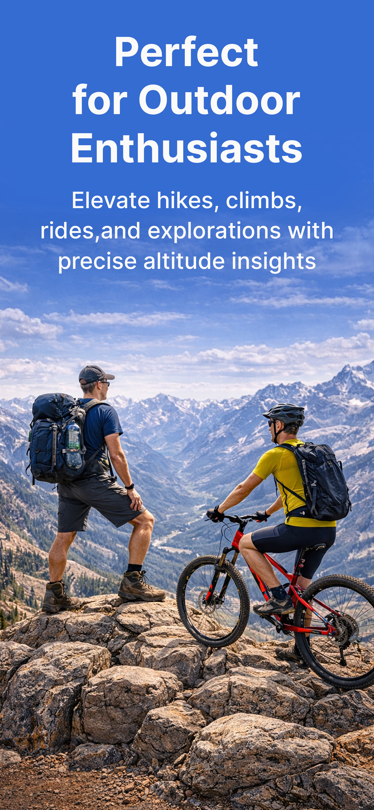
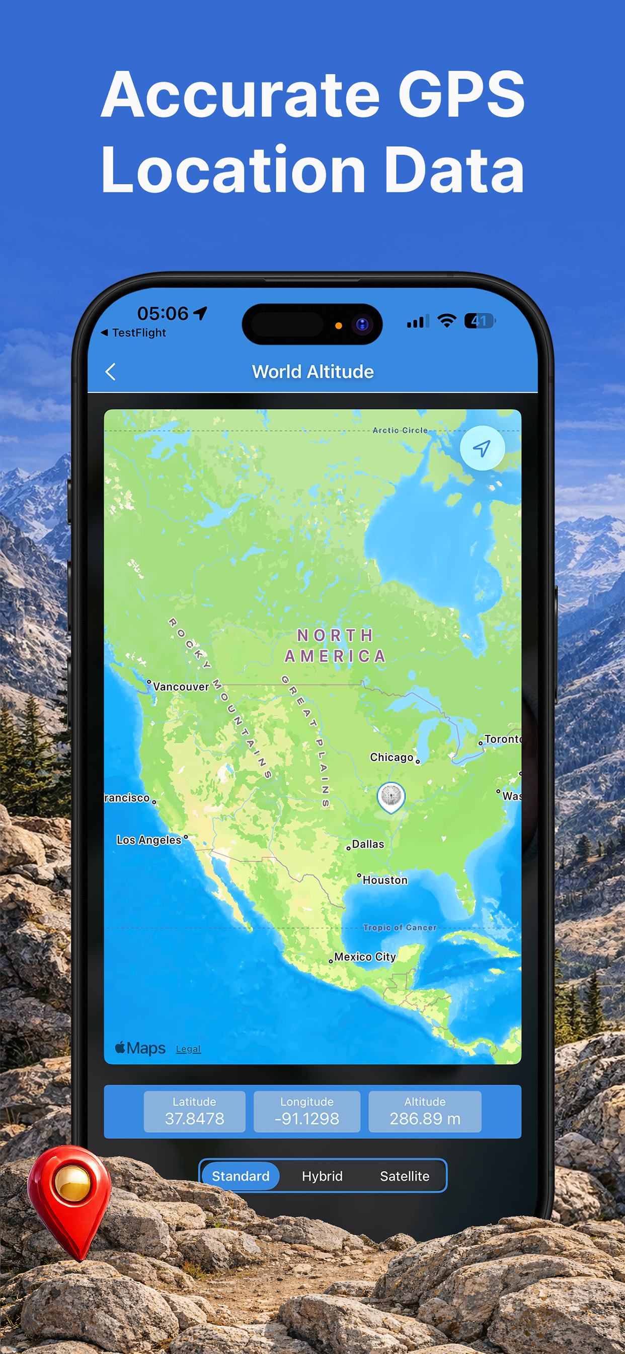
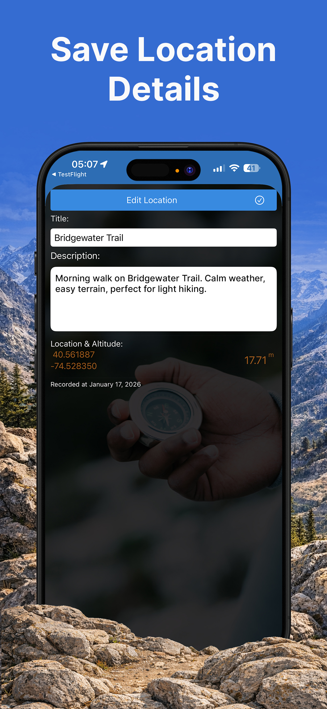
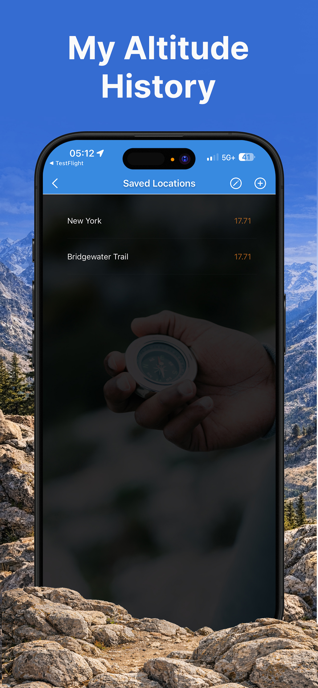
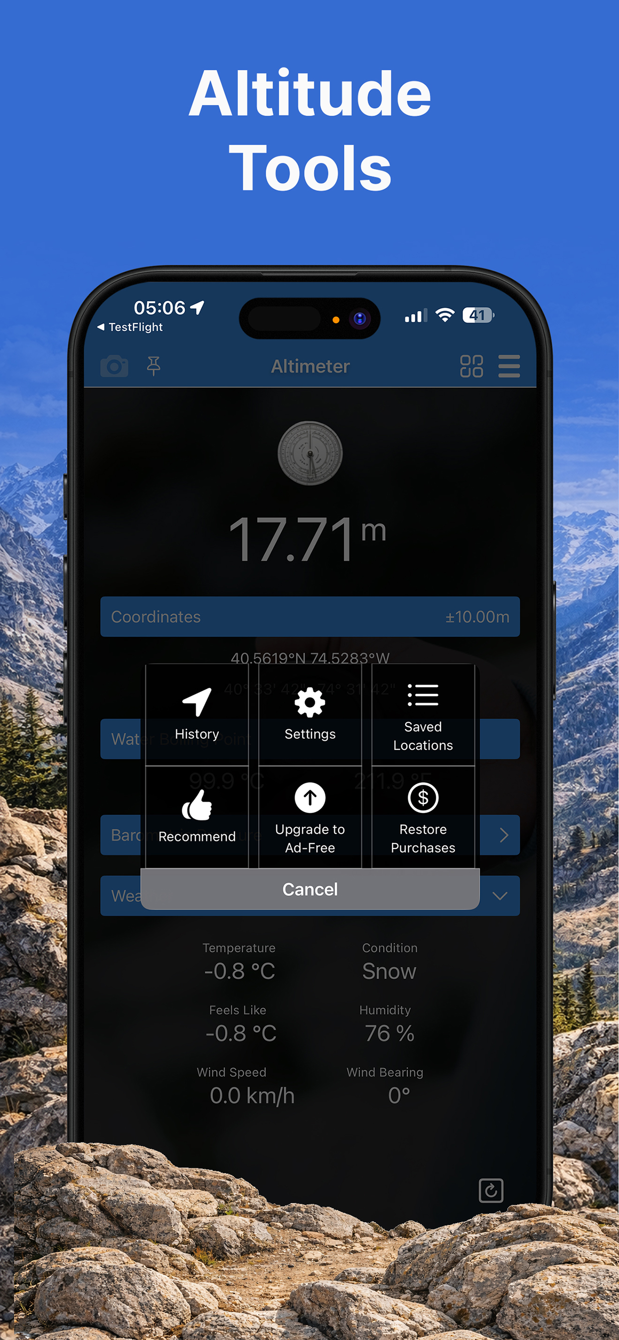
Accurate, Reliable, and Offline Altimeter+ is a powerful and easy-to-use altimeter app that uses your device's advanced sensors to provide precise altitude readings. Whether you're in the mountains, on the trail, or just curious about your elevation, Altimeter+ has you covered. Our smart algorithm combines data from multiple sources for the best possible accuracy: GPS: For a global, location-based altitude reading that works anywhere, even without an internet connection. Barometer: (For compatible devices) Uses atmospheric pressure to provide highly accurate real-time elevation changes. Calibrates automatically to ensure precision. Online Elevation Maps: For a quick, verified ground elevation based on your location (requires internet). Key Features: Real-Time Display: See your current altitude in a large, clear display. Choose between meters or feet. Altitude Tracking: Record your journey and see your highest, lowest, and average altitude. Compass & Coordinates: A built-in digital compass and real-time latitude/longitude display to help you stay oriented. Photo Overlays: Capture stunning photos with your altitude, location, and other data seamlessly overlaid. Share your achievements with friends and family. Works Offline: Designed for remote adventures. Once you've downloaded the app, the GPS and barometer functions work perfectly without a network connection. Performance Metrics: Track and display additional data like speed, distance, and duration of your trip. Detailed Maps: View your route on integrated maps and discover nearby peaks and points of interest. Apple Watch & Wear OS Support: Access key stats right from your wrist for maximum convenience on the go. Whether you're an avid hiker plotting your next ascent, a road cyclist tracking elevation gain, or simply curious about the world around you, Altimeter+ is the app you'll reach for. Download it today and start your next adventure! Disclaimer: The accuracy of altitude data can be affected by various factors, including GPS signal strength, weather conditions, and sensor calibration. This app is for recreational use only and should not be used for professional navigation or safety-critical applications.