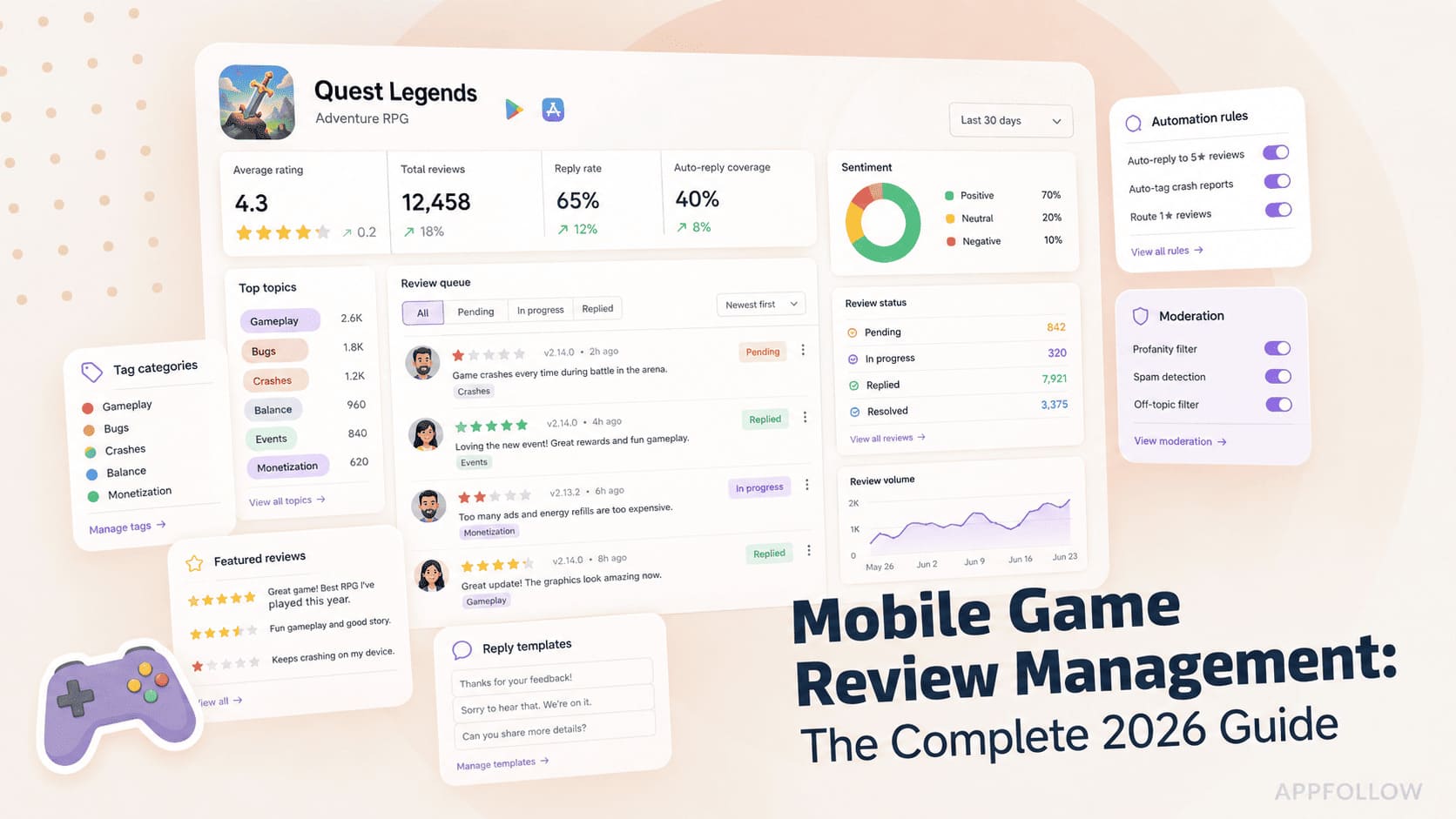
Ratings & Reviews performance provides an overview of what users think of your app. Here are the key metrics to help you identify how your app is rated by users and how successful is your review management strategy.
 4.6
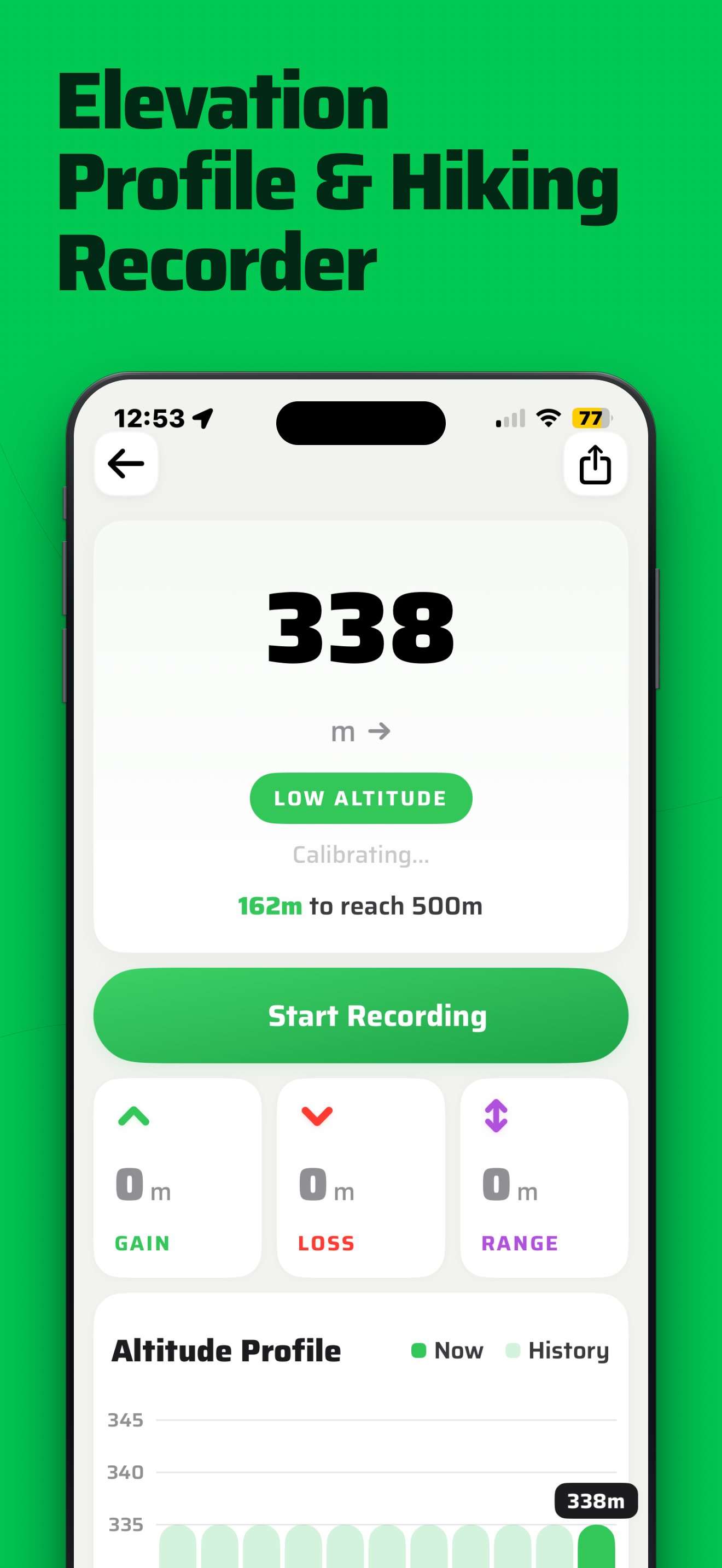
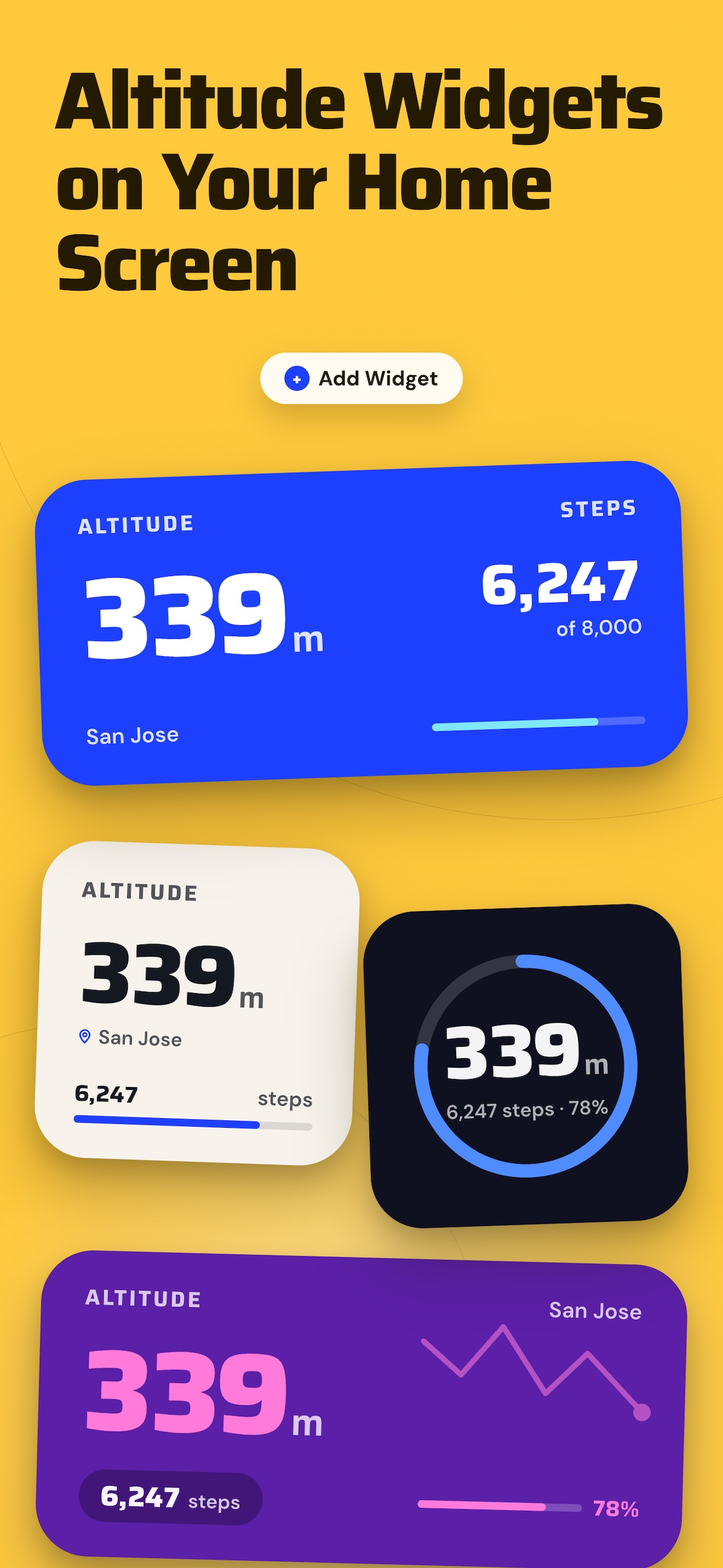
4.6Your complete altitude toolkit. Real-time elevation, weather forecasts, precision compass, activity tracking, altitude camera, and SOS -- all in one app. Whether you're summiting a peak or checking pressure before a storm rolls in, Altimeter gives you the instruments you need -- core features work without a signal. [ALTIMETER & ELEVATION] - GPS + barometer dual-sensor fusion for higher accuracy - Works offline -- mountains, deserts, backcountry, no signal needed - Record elevation sessions with live altitude charts - Altitude tier display: lowland - highland - treeline - alpine - extreme - Helpful for altitude-sensitive conditions like COPD and asthma [WEATHER] Not found in other altimeters - Current temperature, wind speed, humidity, UV index, visibility, cloud cover - Hourly forecast + 16-day daily forecast - Severe weather alerts for mountain safety [COMPASS & NAVIGATION] - Magnetic and true north modes, bearing lock, sun compass - GPS coordinates in DMS, DDM, or decimal format - Magnetic declination auto-calculated [ACTIVITY TRACKING] Not found in other altimeters - Steps, distance, floors, calories, active minutes - Daily streaks, monthly summaries, expedition badges - Personalized insights and active hours breakdown [MORE TOOLS] - Mark Location -- save any spot, navigate back with AR, radar and map - Binoculars -- high-quality zoom with multiple frame styles - SOS -- one-tap send your coordinates to emergency contacts - Flashlight -- quick illumination outdoors at night [UPGRADE TO PRO] Unlock everything: extended forecasts, advanced compass, full activity analytics with streaks and badges, elevation landmarks, milestone progress, altitude alerts, and ad-free experience. Choose weekly, annual, or lifetime access. Available in English, German, Spanish, French, Italian, Japanese, Korean, Simplified Chinese, and Traditional Chinese. - Privacy Policy: https://enacti.com/altimeter/privacy-policy.html - Terms : https://enacti.com/altimeter/terms-and-conditions.html