Ratings & Reviews performance provides an overview of what users think of your app. Here are the key metrics to help you identify how your app is rated by users and how successful is your review management strategy.
User reviews affect conversion to installs and app rating. Featured and helpful reviews are the first to be noticed by users and in case of no response can affect download rate.
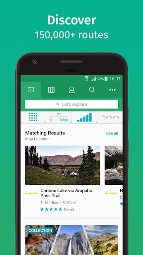
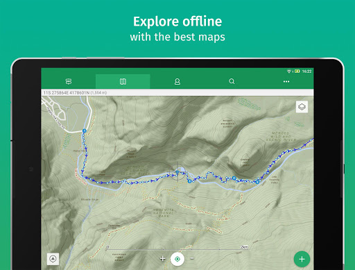
ViewRanger is now Outdooractive. Goodbye from us. We have now switched off access to the ViewRanger app. Thank you to the global community of ViewRanger users who helped make our adventures so much fun. We recommend you download and use the Outdooractive app instead of ViewRanger. We offer you an easy way to move to the Outdooractive app - where you can continue to access your maps, tracks, routes, POIs, and other ViewRanger app data. Search for "Outdooractive" and download the app for free. We'll see you in the Outdooractive community Your Maps If you made one-off payments to access maps within ViewRanger, then we are offering free access to a set of maps via the Outdooractive app instead. The maps we are offering depend on the region of the maps you made one-off payments for in ViewRanger. The maps will be from the same map data provider or, where necessary, from an alternative map data provider depending on the map region. If you have a current ViewRanger subscription, then you have an Outdooractive Pro subscription that will expire at the same time as your ViewRanger subscription. You will then need to renew your subscription via the Outdooractive app. It is no longer possible to purchase or renew a ViewRanger subscription. Other Data By connecting your ViewRanger account to Outdooractive, routes you have plotted, routes you have downloaded, activity tracks you have recorded, a record of the challenges you participated in, and points-of-interest you have marked, will continue to be available within your Outdooractive account. >> OS WEAR by Google • Navigate trails and view track stats on your wrist with OS Wear enabled smartwatches. • Record a new track and pause or stop an existing track recording. • View heading, bearing, lat/long and altitude data. OTHER Free Global maps © OpenStreetMap contributors. Some features, such as viewing online maps, browsing routes, downloading maps and routes and sharing your location using BuddyBeacon require an internet connection.

![50 positive review response examples [+15 negative cases]](https://cdn.appfollow.io/blog/static/appfollow_72e0920a-1a85-45f2-8567-5f1caecc4c00.jpg)
![12 Best Customer Review Management Software We Love [Pros & Cons]](https://cdn.appfollow.io/blog/static/appfollow_d9043069-73ed-45a4-8ab4-b7a90b92006b.jpg)